Oorsprong van de route
Routebeschrijving
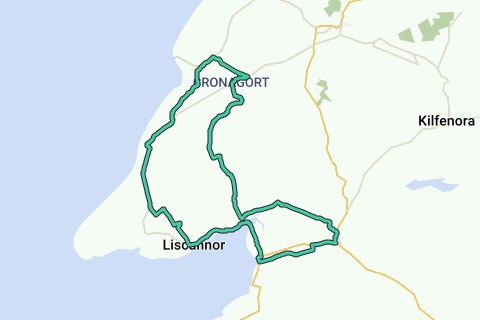
Regio
Statistieken
Moeilijkheidsgraad:
Lengte:
Duur:
Totale stijging:
Maximale stijgingsgraad:
Gemiddelde stijgingsgraad:
Netto stijging:
Totale daling:
Moeilijkheidsgraad volgens de auteur:
Wegen en ondergrond
Verharde wegen:
Kasseien:
Fietspaden:
Landschap
Autovrije wegen:
Geluidsoverlast
Hoeveelheid verkeer
Natuurgebied
Stedelijk gebied
Waterrijk gebied
Begin en einde van de route
Dichtstbijzijnde adres bij einde: