An area of forestry and farming, comprising the village and a dozen hamlets situated by the banks of the canal lateral a la Loire, some 27 miles northeast of Bourges, at the junction of the D7, D920 and the D52 roads. The river Vauvise forms most of the commune's western border and the Loire most of its eastern border. A nature reserve, the Val de Loire National Nature Reserve was created here in 1995, along 12 miles of the Loire valley.
Font: Wikipedia.org
Drets d'autor: Creative Commons 3.0
 | | Pública | Alemany • Català • Espanyol • Francès • Italià • Neerlandès
Direcció: Herry, Centre, França
Estadístiques
Seleccioneu una de les activitats més populars a continuació o perfeccioneu la cerca.
Descobriu les rutes més boniques i conegudes de la zona, acuradament agrupades en seleccions adequades.
Font: Magallanes
Drets d'autor: Creative Commons CC BY-SA 3.0
Seleccioneu una de les categories més populars a continuació o inspira't en les nostres seleccions.
Descobriu els llocs d'interès més bonics i coneguts de la zona, acuradament agrupats en seleccions adequades.
Font: Magallanes
Drets d'autor: Creative Commons CC BY-SA 3.0
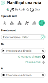
Amb RouteYou pots crear mapes personalitzats molt fàcilment. Defineix la teva ruta, afegeix waypoints o interseccions, planifica parades a punts d'interès o a establiments per menjar i beure i comparteix-ho tot amb els amics i la família.
Planificador de rutes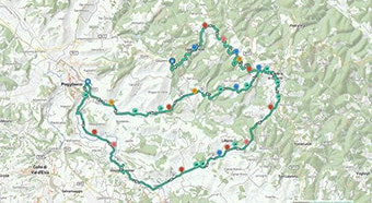
<iframe src="https://plugin.routeyou.com/poiviewer/free/?language=ca&params.poi.id=1313265&params.language=en" width="100%" height="600" frameborder="0" allowfullscreen></iframe>

Més de 11.800.000 rutes

Més de 15.000.000 usuaris

Més de 4.500.000 llocs d'interès

Kerkstraat 108
9050 Gentbrugge, Bèlgica
© 2006-2026 RouteYou - www.routeyou.com