259 views | Public
More information on Openstreetmap.
Inspired by OSM.
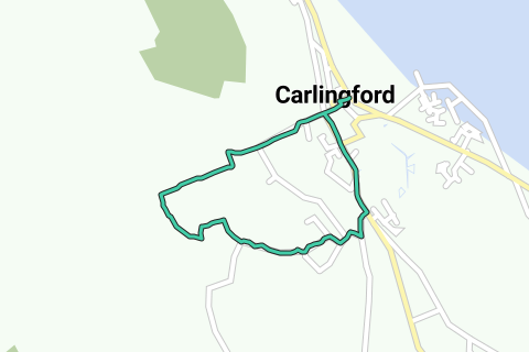
Difficulty level: Medium (70/100)
Length: 37.3 km
Duration: 02h29
Total ascent: 450 m
Maximal slope: 4.8 %
Average slope: 1.2 %
Net ascent: 1 m
Total descent: 449 m
Paved roads: 37.3 km (100 %)
Cobblestones: 0 m (0 %)
Bike paths: 0 m (0 %)
Car free roads: 0 m (0 %)
Noise pollution
Amount of traffic
Natural area
Urban area
Water rich area
WikipediaWikipediaWikipediaBlauwkruikjeWikipediaDromosBlauwkruikjeWikipediaBlauwkruikjeWikipediaBlauwkruikjeWikipediaWikipediaWikipediaWikipediaWikipediaWikipediaWikipediaWikipediaWikipediaWikipediaWikipediaWikipediaWikipediaWikipediaWikipediaWikipedia© 2006-2025 RouteYou - www.routeyou.com