Source: Sandy Berthomieu
Copyright: All rights reserved


Situato alle porte delle gole del Tarn e della Jonte, alla confluenza dei due fiumi, il villaggio prende il nome dai cespugli di rose coltivati dai monaci dell'Abbazia di Aniane, che costruirono la chiesa di Saint-Sauveur nel 1705. Essi coltivavano rose in tutto il villaggio. L'area divenne nota come "Campus Rosarium". Conosciuta in occitano come "Lou Rousio", oggi si chiama "Le Rozier". Del monastero rimane oggi solo la chiesa.
Di fronte a Le Rozier, sull'altra sponda della Jonte, si trova il villaggio di Peyreleau, nell'Aveyron, punto di partenza della Causse Noir. Il villaggio si trova sulla riva sinistra del fiume, dominato da un'antica torre quadrata, ultima vestigia dell'antico castello fortificato.
Source: 48-CDT48
Copyright: Creative Commons CC BY 2.0
 | | Public | Danish • Dutch • English • French • German • Spanish
Address: 48150 Le Rozier
Statistics
Select one of the most popular activities below or refine your search.
Discover the most beautiful and popular trails in the area, carefully bundled into appropriate selections.
Source: Sandy Berthomieu
Copyright: All rights reserved
Select one of the most popular categories below or be inspired by our selections.
Discover the most beautiful and popular attractions in the area, carefully bundled in appropriate selections.
Source: Sandy Berthomieu
Copyright: All rights reserved
With RouteYou, it's easy to create your own customised maps. Simply plot your route, add waypoints or nodes, add places of interest and places to eat and drink, and then easily share it with your family and friends.
Route planner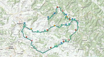
<iframe src="https://plugin.routeyou.com/poiviewer/free/?language=en&params.poi.id=8960771&params.language=it" width="100%" height="600" frameborder="0" allowfullscreen></iframe>

More than 11,800,000 routes

More than 15,000,000 users

More than 4,500,000 points of interest

Kerkstraat 108
9050 Gentbrugge, Belgium
© 2006-2026 RouteYou - www.routeyou.com



