Link copied. Paste the link into Instagram to share the route.

Der Penzendorf Wanderweg 8a führt dich durch eine faszinierende, naturbelassene Landschaft, die zum Entspannen einlädt. Auf 3,9 Kilometern erlebst du eine abwechslungsreiche Strecke mit 126 Höhenmetern, die dir einen beeindruckenden Blick auf die Umgebung bietet. Die Route ist als mittelschwer eingestuft und größtenteils unbefestigt, ideal für Naturliebhaber, die urbanen Trubel meiden möchten. Die gesamte Strecke ist gut beschildert, also folge der Beschilderung für die letzten Updates.
See something wrong on this route?Add an issue
Navigate route in...
 RouteYou app Open
Don't want to see this ad anymore?
→ Upgrade now

Please wait, the navigation is being prepared.
You can now navigate. Have fun on the road!
Processing your request has failed. Please try again.
Don't want to see this ad anymore?
→ Upgrade now
Please wait, your download is being prepared.
Your download is ready. Have fun on the road!
Processing your request has failed. Please try again.
Don't want to see this ad anymore?
→ Upgrade now
Please wait, your print is being prepared.
Your print is ready to download. Have fun on the road!
Processing your request has failed. Please try again.
Additional feedback:
This feature is only available to RouteYou PREMIUM subscribers.
Try 1 month for free and discover the difference! We don't take any payment details, and your trial ends automatically after one month.
© 2006-2026 RouteYou - www.routeyou.com




 Auf dem Weg in Österreich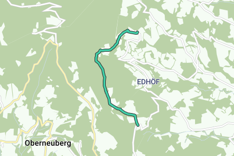






 Start
Start Download
 Download

