Before 1786, there were only swamps in this part of the Netherlands. After the drainage of the swamps, people started to harvest peat, which was transported to the west of the Netherlands. The people who harvested the peat built houses on the land and started a small community, on the present place of Elim, called "Het Dwarsgat". In 1915, the village became known as Elim. The name Elim is from the Bible, Exodus 15:27 : "there were twelve wells of water, and seventy date palms," and the Israelites "camped there near the water".
Fuente: Wikipedia.org
Derechos de autor: Creative Commons 3.0
 | | Pública | Alemán • Danés • Español • Francés • Italiano • Neerlandés
Dirección: Hoogeveen,Elim, Drenthe, Países Bajos
Estadísticas
Selecciona una de las actividades más populares a continuación o afina tu búsqueda
Descubre las rutas más bonitas y populares de la zona, cuidadosamente agrupadas y seleccionadas.
Fuente: ankeric
Derechos de autor: Creative Commons 4.0
Selecciona una de las categorías más populares a continuación o inspírate en nuestras selecciones
Descubre los lugares de interés más bonitos y populares de la zona, cuidadosamente agrupados y selecciondos.
Fuente: ankeric
Derechos de autor: Creative Commons 4.0
Con RouteYou, es fácil crear tus propios mapas personalizados. Simplemente traza tu ruta, agrega puntos de ruta o nodos, agrega lugares de interés, lugares para comer y beber, y luego compártelo fácilmente con tu familia y amigos.
Planificador de rutas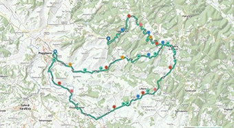
<iframe src="https://plugin.routeyou.com/poiviewer/free/?language=es&params.poi.id=1359743&params.language=en" width="100%" height="600" frameborder="0" allowfullscreen></iframe>

Más de 11.800.000 rutas

Más de 15.000.000 usuarios

Más de 4.500.000 lugares de interés

Kerkstraat 108
9050 Gentbrugge, Bélgica
© 2006-2026 RouteYou - www.routeyou.com