Before 1786, there were only swamps in this part of the Netherlands. After the drainage of the swamps, people started to harvest peat, which was transported to the west of the Netherlands. The people who harvested the peat built houses on the land and started a small community, on the present place of Elim, called "Het Dwarsgat". In 1915, the village became known as Elim. The name Elim is from the Bible, Exodus 15:27 : "there were twelve wells of water, and seventy date palms," and the Israelites "camped there near the water".
Font: Wikipedia.org
Drets d'autor: Creative Commons 3.0
 | | Pública | Alemany • Danès • Espanyol • Francès • Italià • Neerlandès
Direcció: Hoogeveen,Elim, Drenthe, Països Baixos
Estadístiques
Seleccioneu una de les activitats més populars a continuació o perfeccioneu la cerca.
Descobriu les rutes més boniques i conegudes de la zona, acuradament agrupades en seleccions adequades.
Font: ankeric
Drets d'autor: Creative Commons 4.0
Seleccioneu una de les categories més populars a continuació o inspira't en les nostres seleccions.
Descobriu els llocs d'interès més bonics i coneguts de la zona, acuradament agrupats en seleccions adequades.
Font: ankeric
Drets d'autor: Creative Commons 4.0
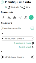
Amb RouteYou pots crear mapes personalitzats molt fàcilment. Defineix la teva ruta, afegeix waypoints o interseccions, planifica parades a punts d'interès o a establiments per menjar i beure i comparteix-ho tot amb els amics i la família.
Planificador de rutes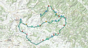
<iframe src="https://plugin.routeyou.com/poiviewer/free/?language=ca&params.poi.id=1359743&params.language=en" width="100%" height="600" frameborder="0" allowfullscreen></iframe>

Més de 11.800.000 rutes

Més de 15.000.000 usuaris

Més de 4.500.000 llocs d'interès

Kerkstraat 108
9050 Gentbrugge, Bèlgica
© 2006-2026 RouteYou - www.routeyou.com