Before 1786, there were only swamps in this part of the Netherlands. After the drainage of the swamps, people started to harvest peat, which was transported to the west of the Netherlands. The people who harvested the peat built houses on the land and started a small community, on the present place of Elim, called "Het Dwarsgat". In 1915, the village became known as Elim. The name Elim is from the Bible, Exodus 15:27 : "there were twelve wells of water, and seventy date palms," and the Israelites "camped there near the water".
Risorsa: Wikipedia.org
Diritti d'autore: Creative Commons 3.0
 | | Pubblica | Danese • Francese • Italiano • Olandese • Spagnolo • Tedesco
Indirizzo: Hoogeveen,Elim, Drenthe, Paesi Bassi
Statistiche
Seleziona una delle attività più popolari qui sotto oppure affina la ricerca.
Scopri gli itinerari più belli e popolari della zona, accuratamente raggruppati in apposite selezioni.
Risorsa: ankeric
Diritti d'autore: Creative Commons 4.0
Seleziona una delle categorie più popolari qui sotto o lasciati ispirare dalla nostra selezione.
Scopri i luoghi di interesse più belli e popolari della zona, accuratamente raggruppati in apposite selezioni.
Risorsa: ankeric
Diritti d'autore: Creative Commons 4.0
Con RouteYou puoi creare facilmente mappe personalizzate. Traccia il tuo itinerario, aggiungi waypoint o nodi, luoghi di interesse e di ristoro, e condividi le mappe con la tua famiglia e i tuoi amici.
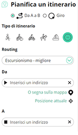
Pianificatore di itinerari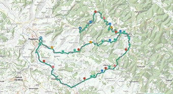
<iframe src="https://plugin.routeyou.com/poiviewer/free/?language=it&params.poi.id=1359743&params.language=en" width="100%" height="600" frameborder="0" allowfullscreen></iframe>

Più di 11.800.000 itinerari

Più di 15.000.000 utenti

Più di 4.500.000 luoghi d'interesse

Kerkstraat 108
9050 Gentbrugge, Belgio
© 2006-2026 RouteYou - www.routeyou.com